Traced

Original
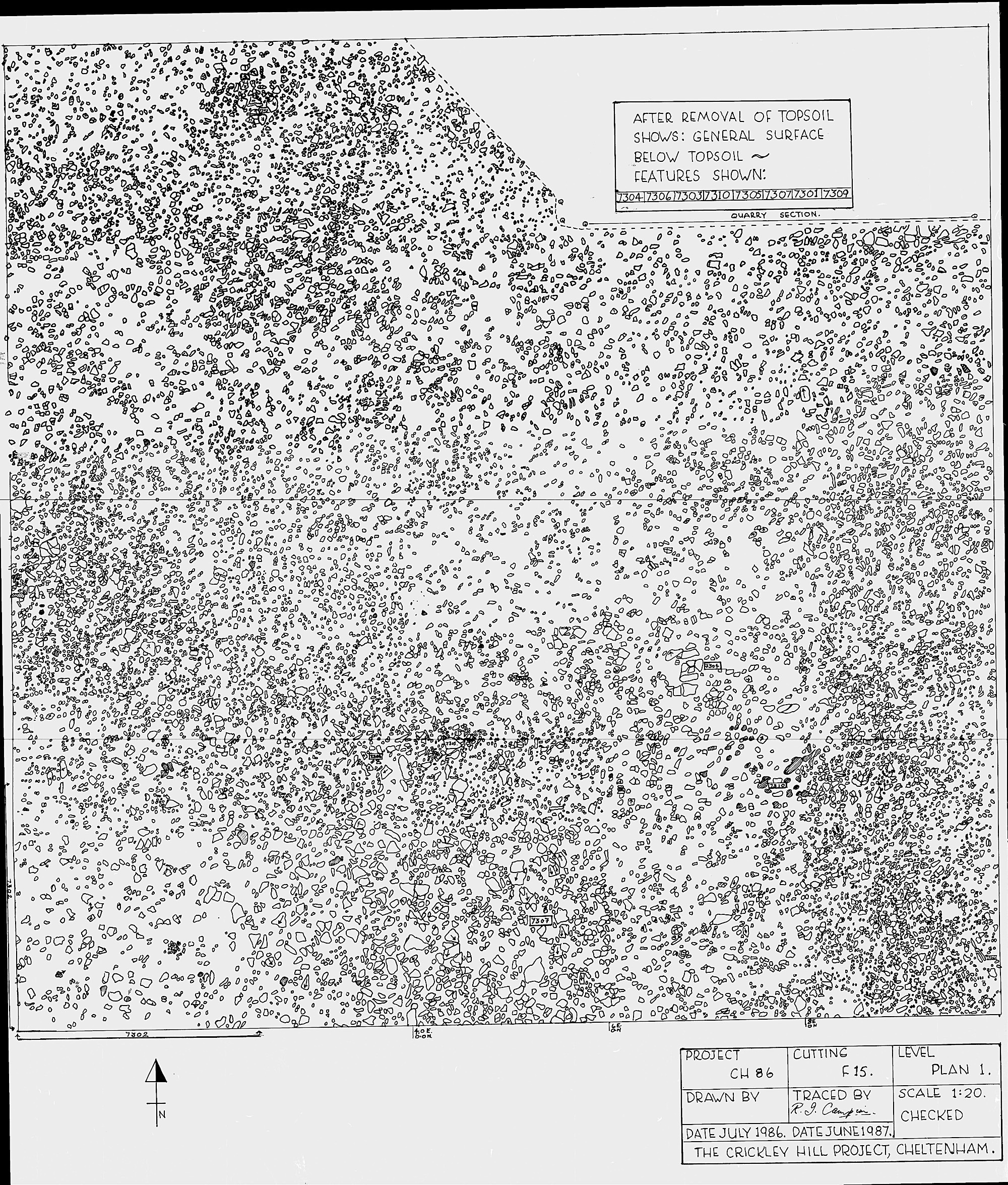
This cutting, on the Northern edge of the post-hillfort settlement down the slope in the South of the hillfort, shows the level of features tailing off. This shows that the edge of this settlement had been located. The NE corner of the square has the start of a much later quarry pit.
Associated Features
Number Type E N
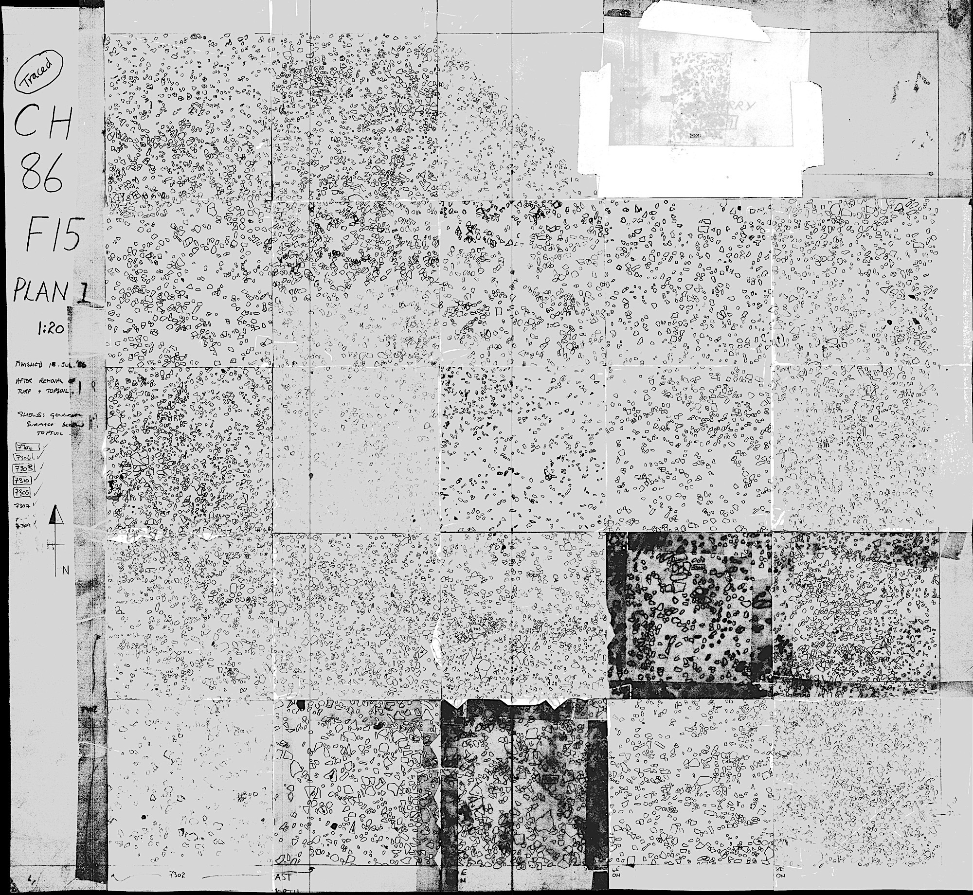
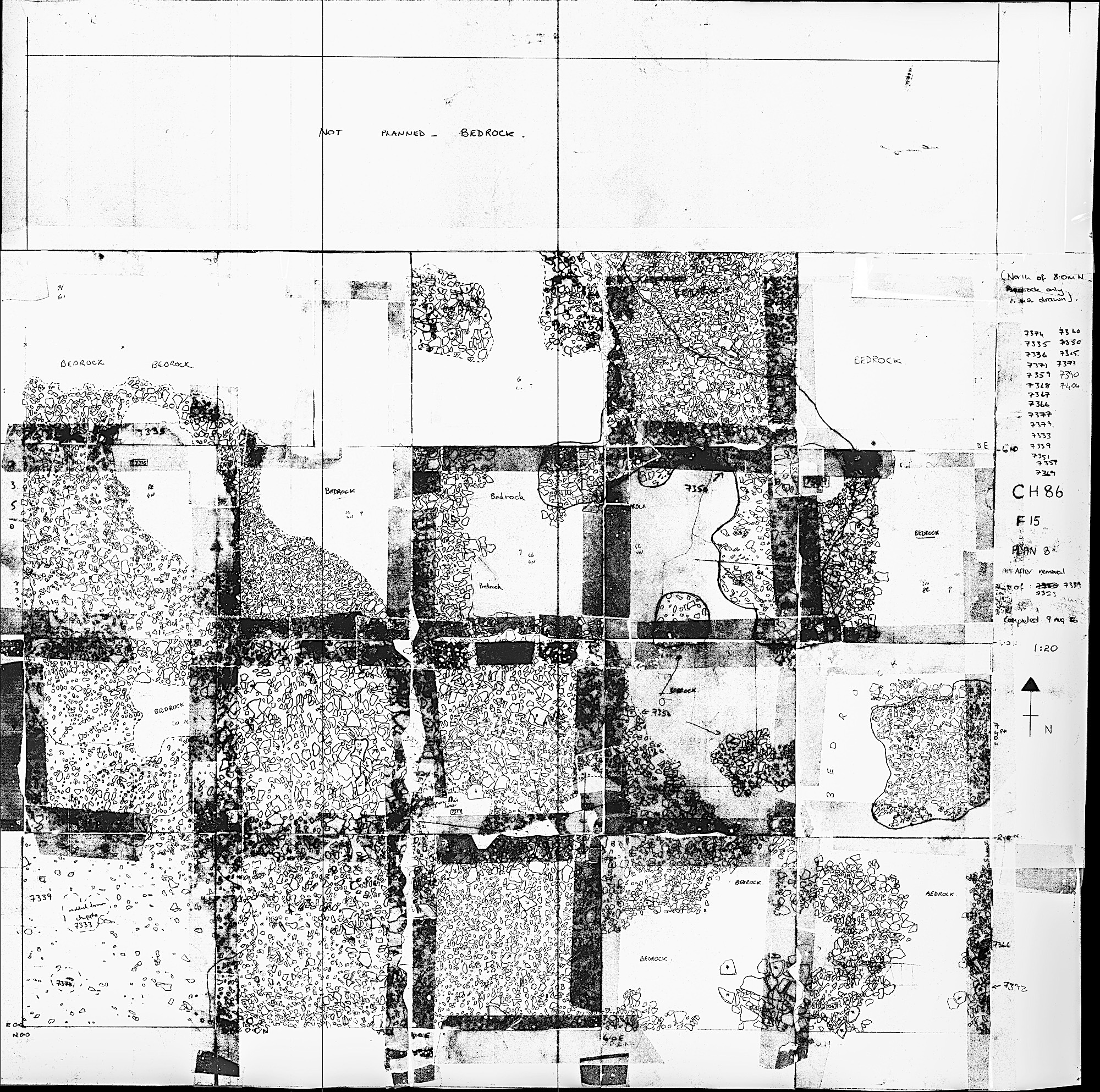
F15
CH86
Navigate:
F15 cutting surface looking SE. The quarry in the NE of the cutting can be seen to the left.
Note Book (typed)
P1


Cutting Plans
What we found here


FP
Copyright (c) The Crickley Archaeological Hill Trust 1969-2021. The right to use, copy, distribute or otherwise disseminate this material is reserved to those specifically authorised by The Trust.


Unexc


P2 with G15
P3