Traced

Original
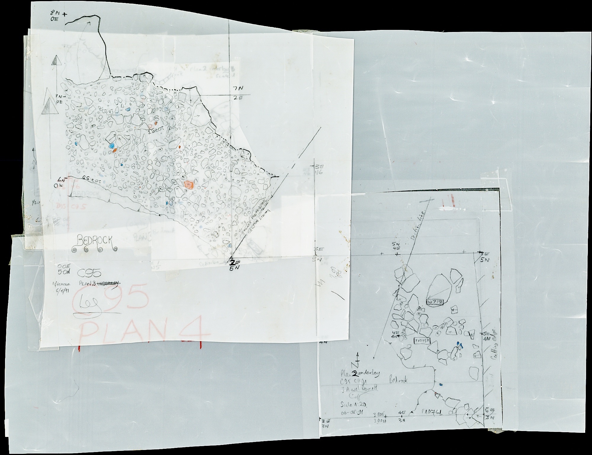
A 5m by 10m slice across the Iron Age defences as they turn to the West as the slope of the hill gets much steeper. Lower levels show the ditch and ramparts at this point.
Associated Features
Number Type E N
C95
CH91
Navigate:
Note Book (typed)
Number Type E N


Cutting Plans
What we found here


FP
Copyright (c) The Crickley Archaeological Hill Trust 1969-2021. The right to use, copy, distribute or otherwise disseminate this material is reserved to those specifically authorised by The Trust.

Unexc
Unexc

P1
P2 (with D95N)
P3 (with C96 & D95)
P4
P6 (with D95)


P5

Looking NW along the line of the surviving Iron Age rampart at this point.

